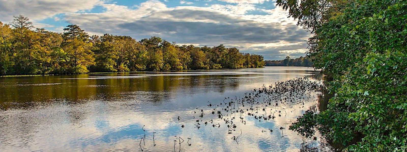


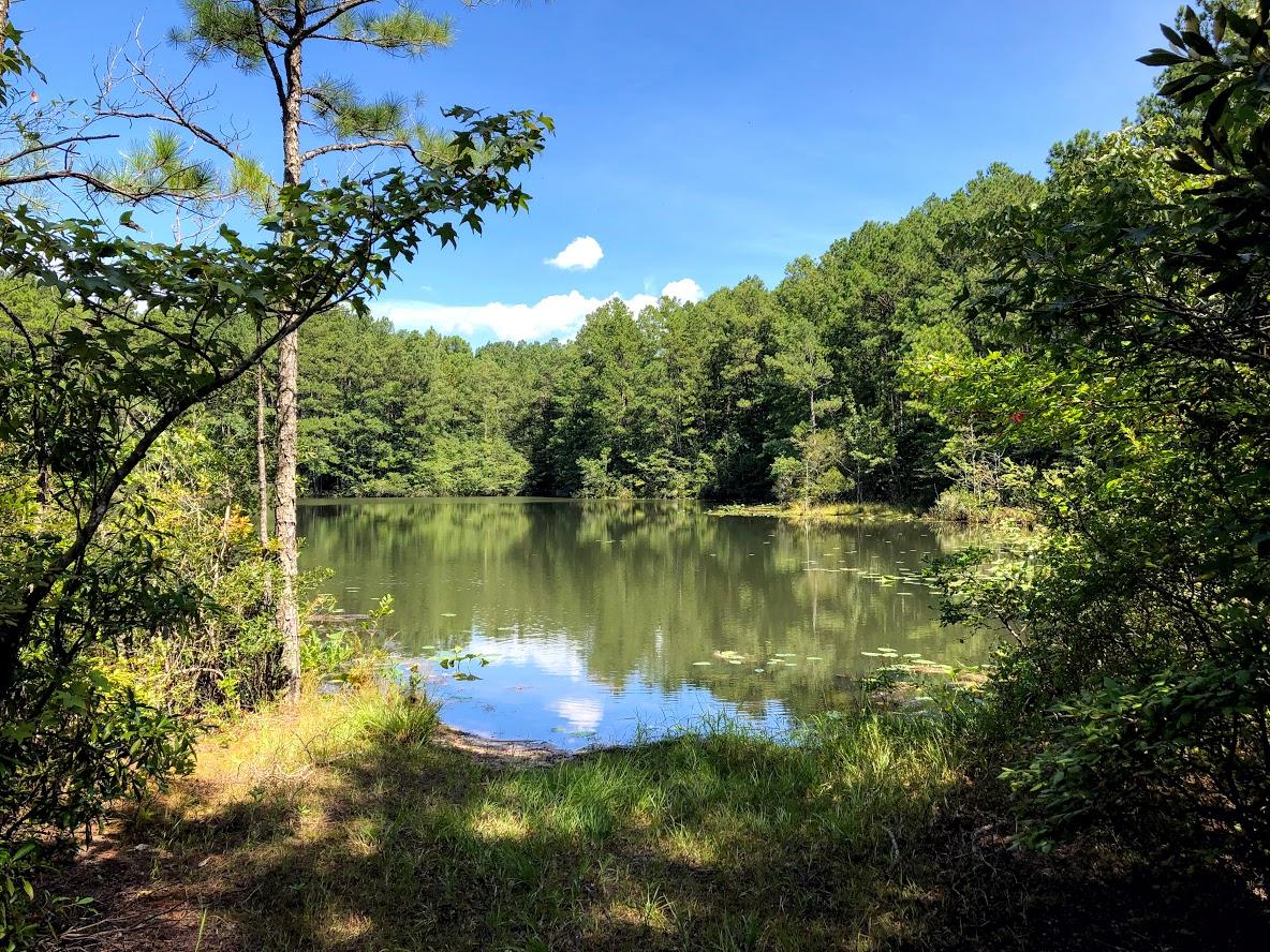

Tucked away on Maryland's lower eastern shore, this park is well known for cypress swamps that border the Pocomoke River. The river originates in the Great Cypress Swamp in Delaware and flows southwesterly 45 miles to the Chesapeake Bay. The park features hiking, biking, boating and fishing opportunities. There are two distinct areas: Millburn Landing, on the north side of the Pocomoke River on Route 364, and Shad Landing, on the south side of the river off Route 113. It is a 25-minute drive between the two areas of Pocomoke River State Park. This popular park also offers camping, camper cabins, boat launch, boat rentals, flat water canoeing, picnic areas, playgrounds, picnic shelters, and a swimming pool.
Reservations can be made for today and can be made up to 365 Day(s) in advance.
Reservations can be made for today and can be made up to 365 Day(s) in advance.
Reservations must be made 1 Day(s) ahead of arrival and can be made up to 365 Day(s) in advance.
Reservations must be made 1 Day(s) ahead of arrival and can be made up to 365 Day(s) in advance.
Reservations must be made 1 Day(s) ahead of arrival and can be made up to 365 Day(s) in advance.
Reservations must be made 1 Day(s) ahead of arrival and can be made up to 365 Day(s) in advance.
2026 Reservable Dates
Shad Landing
Milburn Landing
2027 Reservable Dates
Shad Landing
Milburn Landing
*Displayed rates are base rates and do not reflect discounts, surcharges (holiday/weekend/residency) or incremental charges, such as pet fees.
Prices are subject to change without notice, and all transaction fees, penalties, and donations are non-refundable.
Directions to Milburn Landing Area Campground 3036 Nassawango Road Pocomoke City, MD 21851
Driving Directions: The Milburn Landing area is 6.5 miles south of MD-12 (Snow Hill Rd) and Nassawango Rd intersection and 7 miles northeast of Pocomoke City off US-13 via MD-364 to Nassawango Rd.
GPS Coordinates: 38.136287, -75.501899
Directions to Shad Landing Area Campground 3461 Worcester Highway Snow Hill, MD 21863
Driving Directions: The Shad Landing area is 3.5 miles south of Snow Hill and 10 miles northeast of Pocomoke City located just off US 113 (Worcester Highway).
GPS Coordinates: 38.12944, -75.44083


