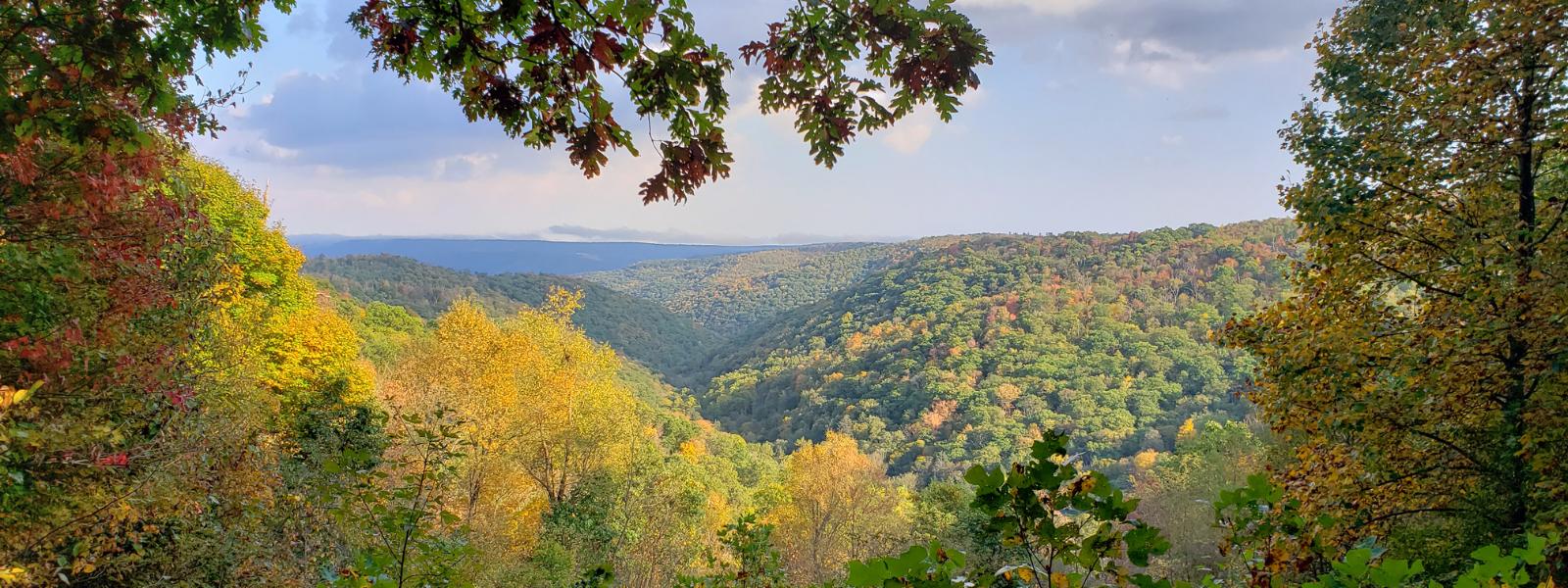


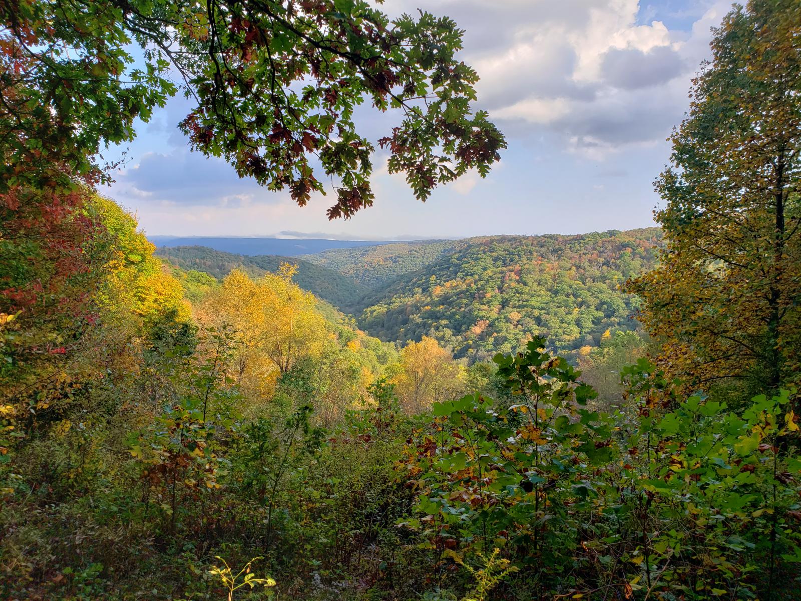

Savage River State Forest is approximately 55,000 acres situated in northeastern Garrett County in Western Maryland. It is a hardwood forest dominated by oak species, sugar and red maple, black cherry, hickory and mixed Appalachian Hardwoods. Savage River State Forest visitors can enjoy hiking, biking, boat/canoeing, ORV trail riding, firewood cutting, fishing, hunting, snowmobiling, cross-country skiing and primitive camping. Savage River also has a public shooting range which is open 365 days a year from sunrise to sunset. (Call office to check for occasional closures.) Many areas of the forest have been designated as State Wildlands, ensuring the preservation of unique natural resources.
Reservations can be made for today and can be made up to 365 Day(s) in advance.
2026 Reservable Dates
2027 Reservable Dates
*Displayed rates are base rates and do not reflect discounts, surcharges (holiday/weekend/residency) or incremental charges, such as pet fees.
Prices are subject to change without notice, and all transaction fees, penalties, and donations are non-refundable.
Directions to Savage River State Forest - Big Run Campground
Driving Directions:
Located off Big Run Road, south of New Germany RoadFROM THE WEST: take I-68 E, take exit 22 for US-219 N toward Meyersdale PA, turn right onto US-219 S/Chestnut Ridge Rd, 2.7 miles turn left onto New Germany Rd, 5.1 miles turn left onto Big Run Rd.
FROM THE EAST: take I-68 W, take exit 22 for US-219 N toward Meyersdale PA, turn left onto US-219 S/Chestnut Ridge Rd, 2.7 miles turn left onto New Germany Rd, 5.1 miles turn left onto Big Run Rd.
GPS Coordinates: 39.60079857341948, -79.17331897320814
Directions to Savage River State Forest - St. John's Rock Campground
Driving Directions:
FROM THE WEST: take I-68E, take exit 29 and bear to the right onto Beall School Road, follow Beall School Road approximately 1 mile to the intersection with Old Frostburg Road, turn left to stay on Beall School Road which turns into St. John's Rock Road, follow St. John's Rock Road approximately 1 mile to the ORV trail entrance.
FROM THE EAST: take I-68W, take exit 29 and bear left onto Beall School Road, follow Beall School Road approximately 1 mile to the intersection with Old Frostburg Road, turn left to stay on Beall School Road which turns into St. John's Rock Road, follow St. John's Rock Road approximately 1 mile to the ORV trail entrance.
GPS Coordinates: 39.663009, -78.975161


